The trailhead for this hike is located near Donner Pass, at 7'200 feet (2'195 m), whereas its highest point is Mt Judah, located at 8'245 feet (2'513 m). Therefore, we thought we had a much better shot at completing this hike than the Mt Rose hike.
The hike started with switchbacks, which rapidly brought us near the top of the mountain. The views from there were magnificent in all directions. We would have spent more time there enjoying them, if it hadn't been for the extremely cold wind.
It took us around 3 hours to hike this short, 4.6-mile loop, as most of the trail was covered with snow. And in places from which the snow had already melted, there was so much water that we felt like we were hiking in a creek rather than on a trail...
It was definitely a beautiful hike, and therefore, I would imagine that it gets very crowded during the summer season. It is also possible to go on this hike during the winter (like we did), though finding a trail then can be challenging.
Even at the beginning of the trail there was lots of snow:


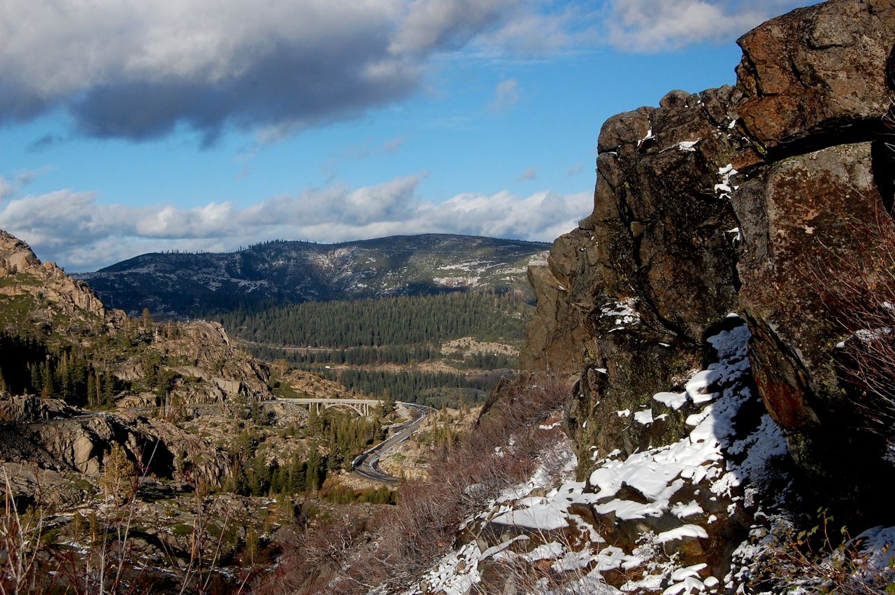
Donner Lake:


Top of Mt Judah:


Strong wind on the top of Mt Judah formed dune-like structures from the snow:


Plants covered in ice and snow:


I am freezing!


Moss-covered trees:


The trail-turned-creek: